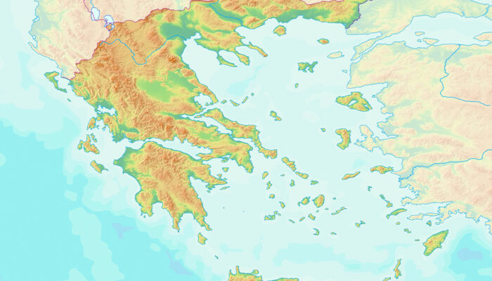
Understanding types of reference maps
Maps of all kinds have been used for centuries to help people understand the world better. While some are designed for navigational purposes, others are meant to indicate geographical boundaries, names, and the structural outline of areas. Further, professionals use specialized ones for weather predictions or to analyze rainfall distribution or other patterns.
Read Article 